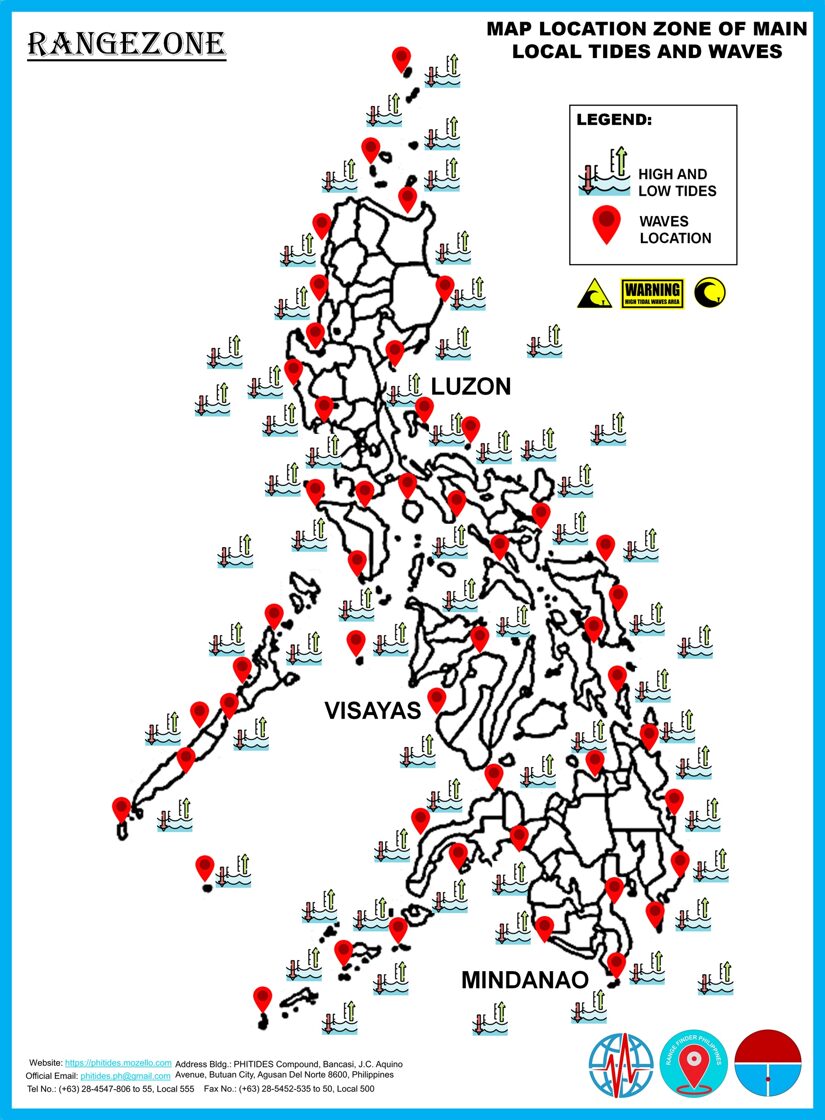
The Rangezone is the map location zone of main local tides and waves of the tidal tragedy in the ocean and we also use this map for monitoring and measuring the tidal range and tidal waves. The depths and widths of the predicting the increased water traffic levels are very manual for tidal system. Real time water level and water current measurement systems now are being used in many major ports to provide information and with operators of the sea latest conditions.
Predicting tides has always been important to all people who look to the sea for safety of coastal area and their livelihood with the recreational fishermen use their knowledge of the tides and tidal currents to help them improve by depending on the species and water depth in a particular area that may concentrate during tidal range and wave currents. In some areas the tidal currents concentrate bigger and smaller on attracting larger tidal range addition of the tides and to the beachgoers and surfers.
Coastal zones including the construction of rivers require to monitor fluctuating tide levels. The construction or movement of large structures must be far in advance if an area experiencing wide high water levels during its tidal cycle. Habitat restoration also require accurate knowledge of tide and current management.
This data is critical for many coastal activities, including safe navigation and habitat restoration of preservation in the seashore. Water level monitoring also helps to provide an early warning system by providing advance warning of a tidal waves and flooding by providing valuable time to protect assets and valuables to protect the coastal areas.
All of the following areas on the map that has tide and wave location center is the map location zone of main local tides and waves. You can also learn and know where are the tide and wave will happen in a right date and time, height, depth of water, location and the intervals or the affected areas of the main tidal range.

